Data Development and Organization
Scenario-based planning with SPM starts with a detailed baseline assessment of the existing conditions or base “canvas” at the Scenario Planning Zone (SPZ) level. The SPZs are the minimum unit of scenario planning and analysis that SCAG developed by grouping parcels of uniform or compatible land uses while maintaining manageable size for capturing local land use benefits on transportation, varied by development density and intensity.
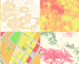
SPM streamlines the development of the base canvas through scripts and processes that normalize data of varying quality, type and scale from a wide range of sources, including land cover and environmental data, demographic characteristics, roadway and transit that provide the foundation for analysis by SPM’s various analysis engines.