Regional Growth Forecasting
Every four years, SCAG develops a three-decade projection of population, household, and employment growth at the region, county, jurisdiction, and transportation analysis zone levels for the Connect SoCal Regional Transportation Plan, Sustainable Communities Strategy. Unlike a short-term projection, which depends heavily on economic cycles, long-term regional growth is driven by births, deaths, migration, and the composition of the region’s industries relative to the rest of the country. To begin the growth forecast process, SCAG convenes a panel of demographic experts. Local jurisdictions also provide, review, and integrate project-level information through the Local Data Exchange process.
The latest growth forecast data and technical details can be found in the “Connect SoCal Demographics & Growth Forecast Technical Report” and in agendas from SCAG’s Technical Working Group.
Subarea Forecasting
SCAG develops socioeconomic estimates and growth projections, including population, households, and employment, for cities and transportation analysis zones in the SCAG region through enhanced forecasting methods and interactive public outreach. These estimates and projections provide the analytical foundations for the Connect SoCal Regional Transportation Plan/Sustainable Communities Strategy and other SCAG programs.
The SCAG region covers 191 jurisdictions and six unincorporated communities in Southern California. This region is divided into over 11,000 small areas. These small areas known as Tier 2 transportation analysis zones (TAZs). In some instances, TAZ boundaries cross jurisdictional boundaries, creating approximately 13,000 city split Tier TAZs. This zone system is uniquely designed to allow highly detailed traffic analysis and predictions through the use of SCAG’s sophisticated transportation model.
This provides SCAG, in great geographical detail, current and future demographic profiles of the region. These profiles are key inputs to SCAG’s transportation model, which uses them to help estimate current and future transportation conditions.
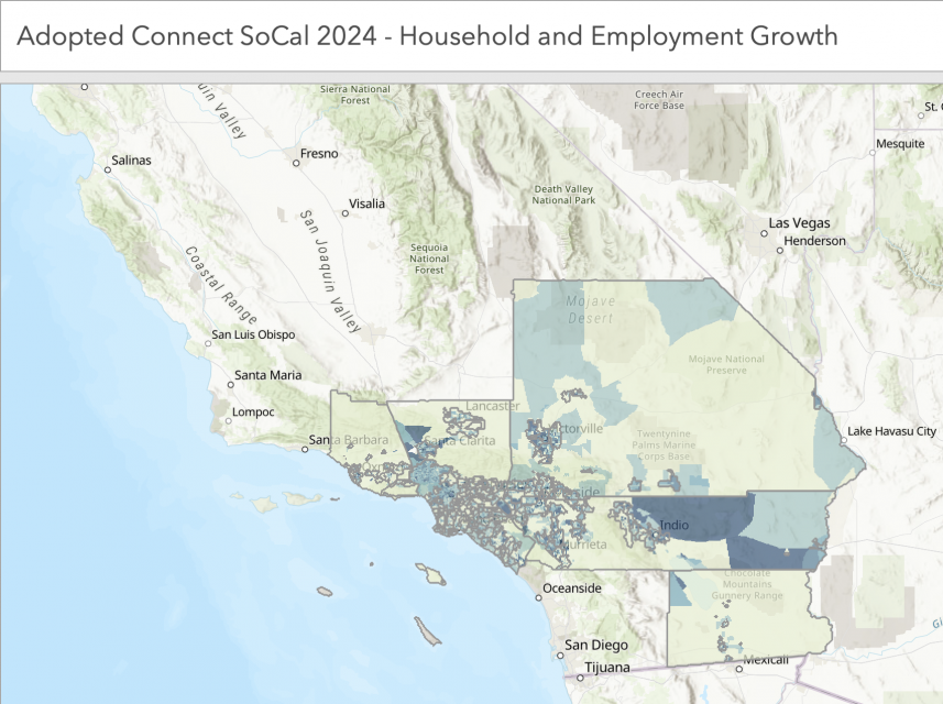
Final Connect SoCal 2024 growth forecast data is also available in an Excel file and in this web mapping application:

Please see the Demographics and Growth Forecast or Land Use and Communities Technical Reports for more detail.