Local Data Exchange
SCAG developed the Local Data Exchange (LDX) process to meet and exchange local information for regional purposes with all 197 local jurisdictions in the SCAG region. Through the LDX process, SCAG shares data and collects local input on land use, growth, and other inputs to inform the development of the Connect SoCal Regional Transportation Plan/Sustainable Communities Strategy. The LDX’s bottom-up approach ensures that local jurisdictions are actively involved in the development of SCAG’s regional plans, and that data are accurate. To support the development of Connect SoCal 2050, the LDX process begins in April 2026. From April through September, SCAG’s Local Information Services Team (LIST) will schedule 90-minute one-on-one meetings with all 197 local jurisdictions in the SCAG region to review preliminary datasets, discuss local planning updates, and provide an overview of Connect SoCal 2050. Preliminary data and maps for local review and input are available in updated, jurisdiction-specific data and map books.
As part of the LDX process, local jurisdictions are asked to review preliminary GIS data on land use, transportation, forecasted growth patterns, resource areas, and other datasets provided by SCAG. Local jurisdictions can also provide input on existing conditions, local trends, and policy updates through the LDX Survey.
Local input and verification are due to SCAG by Nov. 20, 2026, to be included in draft plan development. LIST members are available throughout the LDX process to provide technical assistance and can be contacted at list@scag.ca.gov.
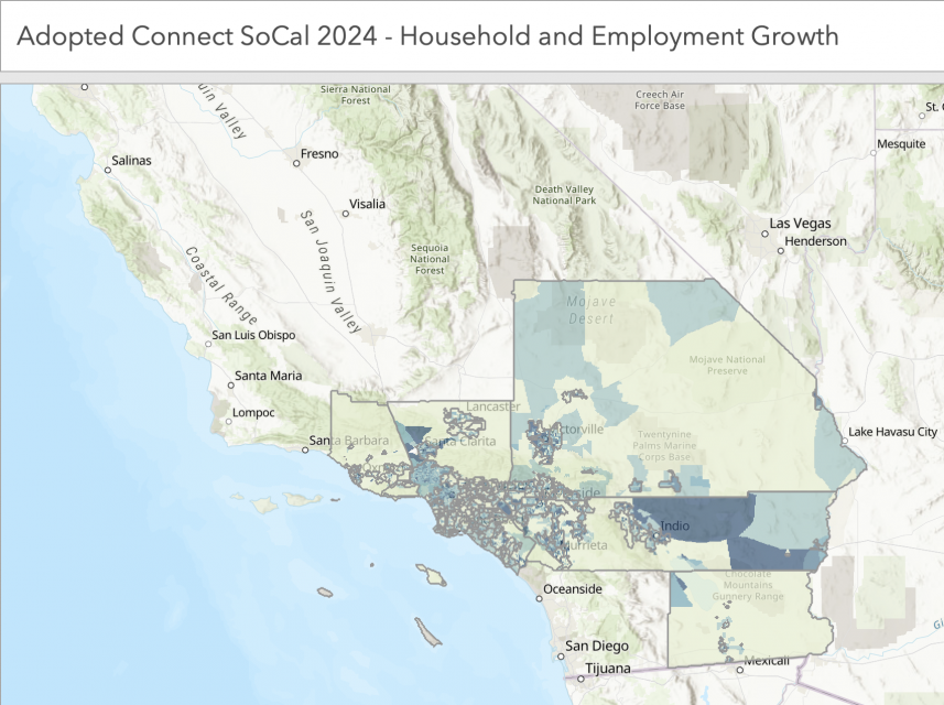
Final Connect SoCal 2024 growth forecast data is also available in an Excel File and in this web mapping application:

Please see the Demographics and Growth Forecast or Land Use and Communities Technical Reports for more detail.
Connect SoCal 2024 Data/Map Books
Each jurisdiction’s Connect SoCal 2024 Data/Map Book contains a description of the LDX process, descriptions of each dataset and updated data and maps following local review. To request draft high-quality maps and shape files of SCAG’s Data/Map Book or related materials, please contact LIST@scag.ca.gov.
Please note these data represent a snapshot in time and may not reflect subsequently available information. Please contact local jurisdictions directly to ensure the most up-to-date planning, development, and construction information.
