Geographic Information Systems
The SCAG GIS Services Program started in the late 1980s to create the preeminent source of information for the Southern California region. The purpose of the program is to derive and promote a model policy for distributing geospatial data and other information developed and maintained at SCAG.
program goals
- Make geographic information and data more accessible.
- Partner with local governments and public agencies on data standardization.
- Generate opportunities for local governments to find more and diversified users for their data.
- Create cost savings for local governments by sharing data and establishing consortiums when feasible.
- Make maintenance, updates and metadata documentation an accepted part of the data distribution process.
Through the GIS Services Program, SCAG offers specialized software training and data assistance to its member jurisdictions. The GIS Services Program promotes data sharing and updating to enhance region-wide GIS data standardization and helps SCAG maintain effective working relationships with its member cities and key stakeholder agencies. Services include training, data conversion, simple application development and more. These resources help local agencies leverage their assets better to become more efficient, save money, and/or provide new services to their residents and businesses. SCAG’s conservative estimate of savings to local participating jurisdictions is $2 million.
The SCAG GIS Services Program is available to government agencies and private businesses free of cost to inform plans, studies, analyses and presentations. The SCAG GIS Services Program is supported by skilled researchers, statisticians, demographers, economists and GIS technicians with a long history in the industry. Since 2010, the GIS Services Program has provided data support, day-to-day GIS problem-solving and GIS training for 79 local jurisdictions and two partner agencies.
SCAG is implementing an enterprise GIS to develop and disseminate information to interested parties. We are completing our digital geographic databases and are focused on data distribution and standardization.
- Resources
ESRI is the world’s leading provider of GIS technologies. Their main site allows users to become acquainted with the benefits and capabilities of GIS.
ESRI Software Training is available for all levels of GIS (introductory, intermediate, advanced), oftentimes for free.
ESRI’s ArcGIS Online allows users to build and deploy simple web-based mapping applications at no cost.
Urban and Regional Information Systems Association, an association for GIS professionals, offers GIS trainings and certifications.

What is the Regional Data Platform?
SCAG’s Regional Data Platform (RDP) is an innovative system for collaborative data sharing and planning designed to facilitate better planning at all levels—from cities and counties of all sizes up to the region as a whole.
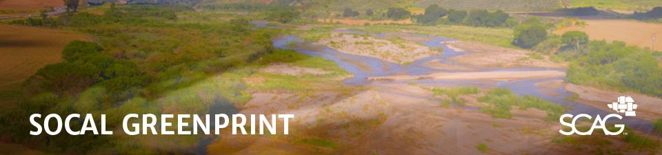
SCAG is in the process of developing the SoCal Greenprint, a web-mapping application to help users make data-driven land use and transportation infrastructure decisions and support conservation investments.
Once completed, the SoCal Greenprint will be an optional, flexible and open conservation-focused data mapping tool to support Regional Advanced Mitigation Planning initiatives as well as efforts to secure state and federal funding to implement sustainability and resilience projects and programs in the SCAG region.